Where is San Jacinto County, Texas?
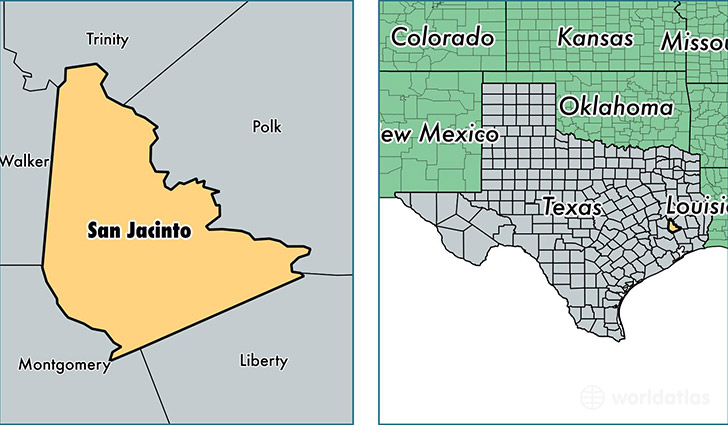
San Jacinto County is a county equivalent area found in Texas, USA. The county government of San Jacinto is found in the county seat of Coldspring.
With a total 1,626.28 sq. km of land and water area, San Jacinto County, Texas is the 1645th largest county equivalent area in the United States. Home to 27,099 people, San Jacinto County has a total 13042 households earning 46107 on average per year.
San Jacinto County, Texas - Quick Facts
| FIPS Code | 48407 |
| Area Codes | 936 |
| Time Zone | CST |
| Major Cities | Shepherd (population: 7,880), Coldspring (population: 7,015), Pointblank (population: 2,285), Oakhurst (population: 741) |
| Land Area | 10,463 sq miles |
| Water Area | 569 sq miles |
| Household Income | $46,107 |
| Housing Units | 13,042 |
| Median Home Value | $88,200 |
| High School Grads | 79% of population |
| Holders of Bachelors Degrees | 12% of population |
| Retail Spending | $2,207 per capita |
| Food & Accomodation Sales | $3,968 per capita |
This page was last updated on June 30, 2016.