Where is Kendall County, Texas?
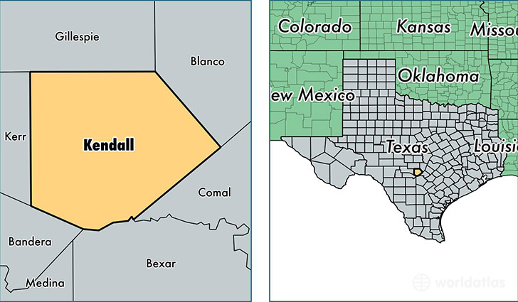
Kendall County is a county equivalent area found in Texas, USA. The county government of Kendall is found in the county seat of Boerne.
With a total 1,717.23 sq. km of land and water area, Kendall County, Texas is the 1531st largest county equivalent area in the United States. Home to 38,880 people, Kendall County has a total 14671 households earning 73410 on average per year.
Kendall County, Texas - Quick Facts
| FIPS Code | 48259 |
| Area Codes | 830 |
| Time Zone | CST |
| Major Cities | Boerne (population: 29,538), Comfort (population: 6,262), Bergheim (population: 1,273), Kendalia (population: 493), Waring (population: 79) |
| Land Area | 15,012 sq miles |
| Water Area | 663 sq miles |
| Household Income | $73,410 |
| Housing Units | 14,671 |
| Median Home Value | $274,400 |
| High School Grads | 90% of population |
| Holders of Bachelors Degrees | 40% of population |
| Retail Spending | $25,877 per capita |
| Food & Accomodation Sales | $55,776 per capita |
This page was last updated on June 30, 2016.