Where is Denton County, Texas?
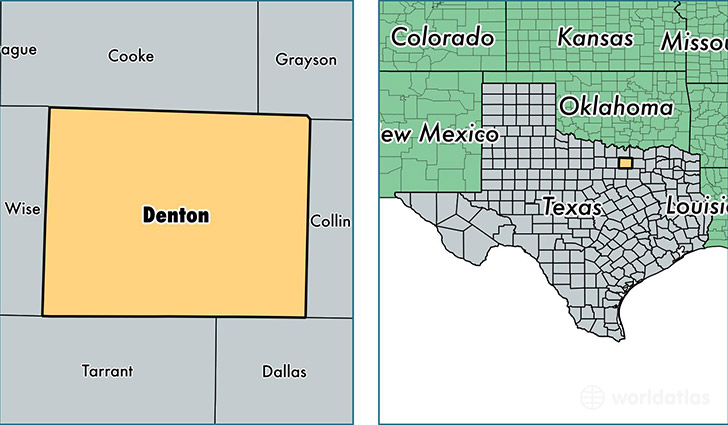
Denton County is a county equivalent area found in Texas, USA. The county government of Denton is found in the county seat of Denton.
With a total 2,468.09 sq. km of land and water area, Denton County, Texas is the 833rd largest county equivalent area in the United States. Home to 753,363 people, Denton County has a total 272418 households earning 74155 on average per year.
Denton County, Texas - Quick Facts
| FIPS Code | 48121 |
| Area Codes | 972,940,817 |
| Time Zone | CST |
| Major Cities | Denton (population: 148,961), Lewisville (population: 116,550), Frisco (population: 110,141), Carrollton (population: 78,076), Flower Mound (population: 69,132), Dallas (population: 52,295), The Colony (population: 51,079), Little Elm (population: 37,290), Roanoke (population: 29,207), Aubrey (population: 23,634) |
| Land Area | 290,875 sq miles |
| Water Area | 878 sq miles |
| Household Income | $74,155 |
| Housing Units | 272,418 |
| Median Home Value | $184,100 |
| High School Grads | 92% of population |
| Holders of Bachelors Degrees | 41% of population |
| Retail Spending | $12,465 per capita |
| Food & Accomodation Sales | $797,850 per capita |
| Universities and Colleges | University of North Texas, Texas Woman's University, University of North Texas System |
This page was last updated on June 30, 2016.