Where is Bowie County, Texas?
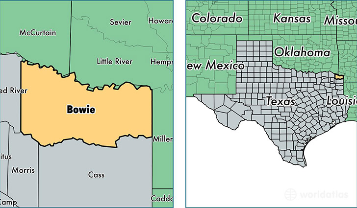
Bowie County is a county equivalent area found in Texas, USA. The county government of Bowie is found in the county seat of Boston.
With a total 2,390.47 sq. km of land and water area, Bowie County, Texas is the 885th largest county equivalent area in the United States. Home to 93,275 people, Bowie County has a total 38903 households earning 42346 on average per year.
Bowie County, Texas - Quick Facts
| FIPS Code | 48037 |
| Area Codes | 903 |
| Time Zone | CST |
| Major Cities | Texarkana (population: 61,058), New Boston (population: 11,590), DeKalb (population: 5,603), Hooks (population: 5,428), Maud (population: 4,251), Nash (population: 2,892), Simms (population: 1,879), Redwater (population: 182) |
| Land Area | 36,014 sq miles |
| Water Area | 885 sq miles |
| Household Income | $42,346 |
| Housing Units | 38,903 |
| Median Home Value | $95,100 |
| High School Grads | 87% of population |
| Holders of Bachelors Degrees | 19% of population |
| Retail Spending | $16,768 per capita |
| Food & Accomodation Sales | $166,546 per capita |
This page was last updated on June 30, 2016.