Where is Anderson County, Texas?
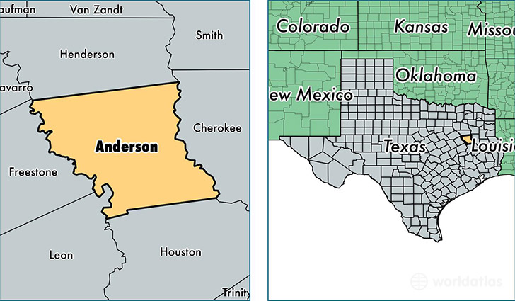
Anderson County is a county equivalent area found in Texas, USA. The county government of Anderson is found in the county seat of Palestine.
With a total 2,792.01 sq. km of land and water area, Anderson County, Texas is the 687th largest county equivalent area in the United States. Home to 57,627 people, Anderson County has a total 20006 households earning 40653 on average per year.
Anderson County, Texas - Quick Facts
| FIPS Code | 48001 |
| Area Codes | 903 |
| Time Zone | CST |
| Major Cities | Palestine (population: 39,015), Tennessee Colony (population: 8,975), Frankston (population: 6,011), Elkhart (population: 5,045), Montalba (population: 958), Neches (population: 121), Cayuga (population: 65) |
| Land Area | 22,250 sq miles |
| Water Area | 1,063 sq miles |
| Household Income | $40,653 |
| Housing Units | 20,006 |
| Median Home Value | $82,000 |
| High School Grads | 79% of population |
| Holders of Bachelors Degrees | 11% of population |
| Retail Spending | $8,731 per capita |
| Food & Accomodation Sales | $48,576 per capita |
This page was last updated on June 30, 2016.