McCook County, SD, USA
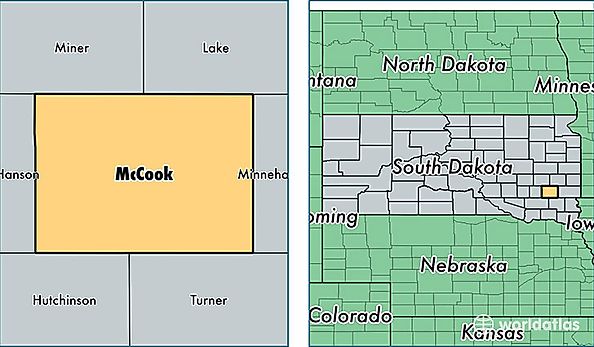
McCook County is a county equivalent area found in South Dakota, USA. The county government of McCook is found in the county seat of Salem.
With a total 1,494.08 sq. km of land and water area, McCook County, South Dakota is the 1855th largest county equivalent area in the United States. Home to 5,649 people, McCook County has a total 2487 households earning 52703 on average per year.
McCook County, South Dakota - Quick Facts
| FIPS Code | 46087 |
| Area Codes | 605 |
| Time Zone | CST |
| Major Cities | Salem (population: 1,970), Montrose (population: 1,171), Canistota (population: 1,158), Bridgewater (population: 998), Monroe (population: 255) |
| Land Area | 2,181 sq miles |
| Water Area | 574 sq miles |
| Household Income | $52,703 |
| Housing Units | 2,487 |
| Median Home Value | $101,100 |
| High School Grads | 93% of population |
| Holders of Bachelors Degrees | 22% of population |
| Retail Spending | $7,604 per capita |
| Food & Accomodation Sales | $3,412 per capita |