Where is Columbia, SC?
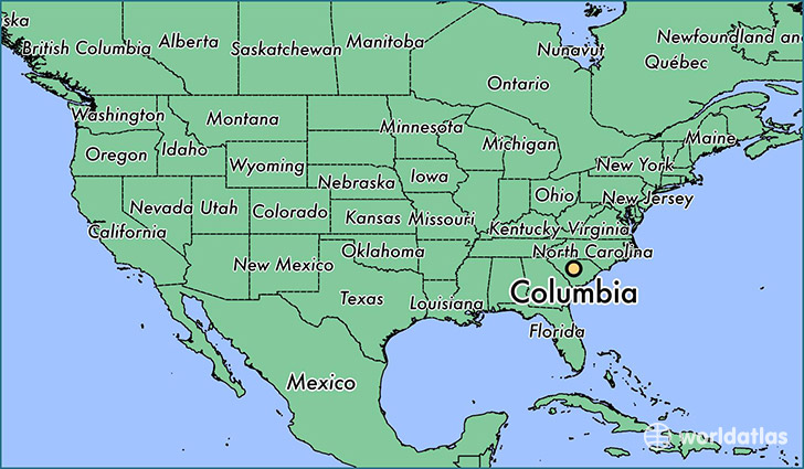
Columbia is a city found in South Carolina, The United States Of America. It is located 34.00 latitude and -81.03 longitude and it is situated at elevation 97 meters above sea level.
Columbia has a population of 129,272 making it the biggest city in South Carolina. It operates on the EDT time zone.
Quick facts
| Country | The United States Of America |
| State | South Carolina |
| Population | 129,272 |
| Elevation | 97 m over sea level |
| Time Zone | EDT |
| Longitude | -81.034810 |
| Latitude | 34.000710 |
Columbia has a population of around 131958, of which 68001 (51%) are male and 63957 (48%) are female. The average age of the inhabitants of Columbia is 33.15, meaning that the average person is below the national median age of 37. For every male, there are approximately 0.94 females, meaning that the population is relatively evenly distributed between males and female(s).
Of Columbia's 131958 residents, around 128472 (97.40%) identify as having a single race. The majority of the population is white, which consists of 51.60% of the population. Of the remaining population, 54723 are black/African Americans (41.50%), 141 are native Americans (0.10%), 2954 are asians (2.20%), 268 are pacific islanders (0.20%), 2233 are other (1.70%).
The median income of households in Columbia is $41260.00, meaning that most of the households are above the poverty threshold for families of three. Of the total population, 12.40% of households reported an annual income of less than $10,000.
Columbia, SC Zipcodes
The city of Columbia has 19 zipcodes recognized by the United States Census Bureau: 29044, 29045, 29061, 29063, 29147, 29201, 29202, 29203, 29204, 29205, 29206, 29207, 29208, 29209, 29210, 29212, 29223, 29225, 29229.