Where is Washington County, Rhode Island?
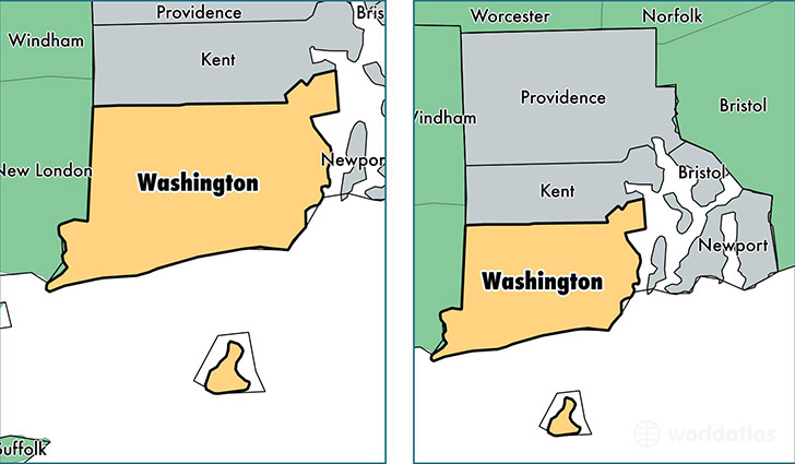
Washington County is a county equivalent area found in Rhode Island, USA.
With a total 1,457.55 sq. km of land and water area, Washington County, Rhode Island is the 1965th largest county equivalent area in the United States. Home to 126,653 people, Washington County has a total 62595 households earning 72138 on average per year.
Washington County, Rhode Island - Quick Facts
| FIPS Code | 44009 |
| Area Codes | 401 |
| Time Zone | EST |
| Major Cities | North Kingstown (population: 22,367), Westerly (population: 21,025), Wakefield (population: 20,205), Narragansett (population: 14,068), Kingston (population: 7,777), Charlestown (population: 7,767), Exeter (population: 6,061), Saunderstown (population: 5,812), West Kingston (population: 4,947), Hope Valley (population: 4,570) |
| Land Area | 48,901 sq miles |
| Water Area | 329 sq miles |
| Household Income | $72,138 |
| Housing Units | 62,595 |
| Median Home Value | $321,900 |
| High School Grads | 93% of population |
| Holders of Bachelors Degrees | 44% of population |
| Retail Spending | $13,619 per capita |
| Food & Accomodation Sales | $272,795 per capita |
| Universities and Colleges | University of Rhode Island |
This page was last updated on June 30, 2016.