Alfalfa County, OK, USA
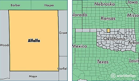
Alfalfa County is a county equivalent area found in Oklahoma, USA. The county government of Alfalfa is found in the county seat of Cherokee.
With a total 2,282.65 sq. km of land and water area, Alfalfa County, Oklahoma is the 1019th largest county equivalent area in the United States. Home to 5,790 people, Alfalfa County has a total 2738 households earning 44811 on average per year.
Alfalfa County, Oklahoma - Quick Facts
| FIPS Code | 40003 |
| Area Codes | 580 |
| Time Zone | CST |
| Major Cities | Cherokee (population: 1,868), Helena (population: 1,620), Aline (population: 512), Carmen (population: 473), Jet (population: 449), Burlington (population: 428), Goltry (population: 370), Amorita (population: 83) |
| Land Area | 2,236 sq miles |
| Water Area | 866 sq miles |
| Household Income | $44,811 |
| Housing Units | 2,738 |
| Median Home Value | $62,600 |
| High School Grads | 86% of population |
| Holders of Bachelors Degrees | 21% of population |
| Retail Spending | $5,983 per capita |
| Food & Accomodation Sales | $1,215 per capita |