Where is Paulding County, Ohio?
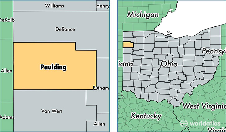
Paulding County is a county equivalent area found in Ohio, USA. The county government of Paulding is found in the county seat of Paulding.
With a total 1,084.81 sq. km of land and water area, Paulding County, Ohio is the 2496th largest county equivalent area in the United States. Home to 18,989 people, Paulding County has a total 8676 households earning 44861 on average per year.
Paulding County, Ohio - Quick Facts
| FIPS Code | 39125 |
| Area Codes | 419 |
| Time Zone | EST |
| Major Cities | Paulding (population: 6,181), Antwerp (population: 3,472), Payne (population: 2,356), Oakwood (population: 2,201), Cecil (population: 1,411), Grover Hill (population: 1,201), Haviland (population: 658), Melrose (population: 291), Latty (population: 189) |
| Land Area | 7,332 sq miles |
| Water Area | 417 sq miles |
| Household Income | $44,861 |
| Housing Units | 8,676 |
| Median Home Value | $92,300 |
| High School Grads | 89% of population |
| Holders of Bachelors Degrees | 12% of population |
| Retail Spending | $5,069 per capita |
| Food & Accomodation Sales | $7,947 per capita |
This page was last updated on June 30, 2016.