Where is Schenectady, NY?
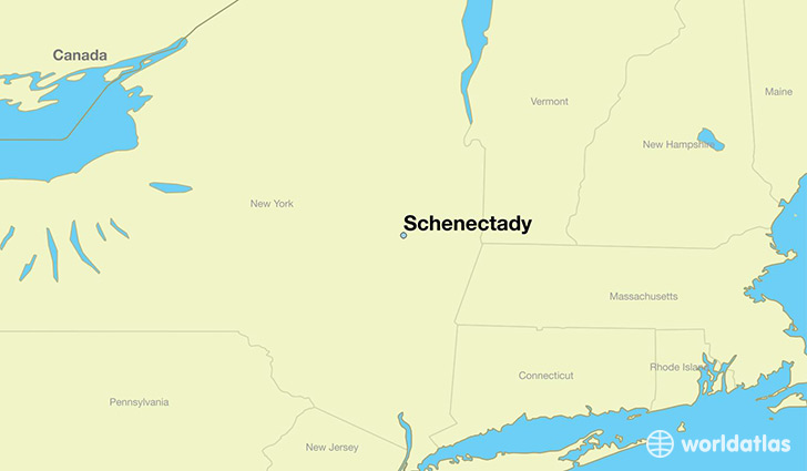
Schenectady is a city found in New York, The United States Of America. It is located 42.81 latitude and -73.94 longitude and it is situated at elevation 78 meters above sea level.
Schenectady has a population of 66,135 making it the 20th biggest city in New York. It operates on the EDT time zone, which means that it follows the same time zone as New York City.
Quick facts
| Country | The United States Of America |
| State | New York |
| Population | 66,135 |
| Elevation | 78 m over sea level |
| Time Zone | EDT |
| Longitude | -73.939570 |
| Latitude | 42.814240 |
Schenectady has a population of around 65735, of which 32049 (48%) are male and 33686 (51%) are female. The average age of the inhabitants of Schenectady is 36.94, meaning that the average person is below the national median age of 37. For every male, there are approximately 1.05 females, meaning that the population is relatively evenly distributed between males and female(s).
Of Schenectady's 65735 residents, around 62173 (94.60%) identify as having a single race. The majority of the population is white, which consists of 59.90% of the population. Of the remaining population, 13934 are black/African Americans (21.20%), 312 are native Americans (0.50%), 3931 are asians (6.00%), 4625 are other (7.00%).
The median income of households in Schenectady is $40755.00, meaning that most of the households are above the poverty threshold for families of three. Of the total population, 9.80% of households reported an annual income of less than $10,000.
Schenectady, NY Zipcodes
The city of Schenectady has 7 zipcodes recognized by the United States Census Bureau: 12303, 12304, 12305, 12306, 12307, 12308, 12309.