Where is Rochester, NY?
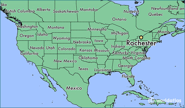
Rochester is a city found in New York, The United States Of America. It is located 43.15 latitude and -77.62 longitude and it is situated at elevation 156 meters above sea level.
Rochester has a population of 210,565 making it the 9th biggest city in New York. It operates on the EDT time zone, which means that it follows the same time zone as New York City.
Quick facts
| Country | The United States Of America |
| State | New York |
| Population | 210,565 |
| Elevation | 156 m over sea level |
| Time Zone | EDT |
| Longitude | -77.615560 |
| Latitude | 43.154780 |
Rochester has a population of around 210745, of which 102302 (48%) are male and 108443 (51%) are female. The average age of the inhabitants of Rochester is 34.24, meaning that the average person is below the national median age of 37. For every male, there are approximately 1.06 females, meaning that the population is relatively evenly distributed between males and female(s).
Of Rochester's 210745 residents, around 201319 (95.50%) identify as having a single race. Of the population, 94941 are white (45.10%), 86580 are black/African Americans (41.10%), 1796 are native Americans (0.90%), 7702 are asians (3.70%), 61 are pacific islanders (0.00%), 10239 are other (4.90%).
The median income of households in Rochester is $30960.00, meaning that most of the households are above the poverty threshold for families of three. Of the total population, 16.80% of households reported an annual income of less than $10,000.
Rochester, NY Zipcodes
The city of Rochester has 22 zipcodes recognized by the United States Census Bureau: 14604, 14605, 14606, 14607, 14608, 14609, 14610, 14611, 14612, 14613, 14614, 14615, 14616, 14617, 14618, 14619, 14620, 14621, 14622, 14623, 14624, 14627.