Where is Hempstead, NY?
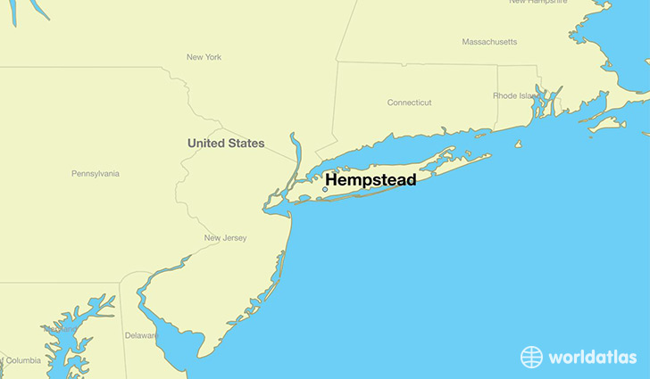
Hempstead is a city found in New York, The United States Of America. It is located 40.71 latitude and -73.62 longitude and it is situated at elevation 21 meters above sea level.
Hempstead has a population of 53,891 making it the 27th biggest city in New York. It operates on the EDT time zone, which means that it follows the same time zone as New York City.
Quick facts
| Country | The United States Of America |
| State | New York |
| Population | 53,891 |
| Elevation | 21 m over sea level |
| Time Zone | EDT |
| Longitude | -73.618740 |
| Latitude | 40.706210 |
Hempstead has a population of around 55105, of which 27321 (49%) are male and 27784 (50%) are female. The average age of the inhabitants of Hempstead is 34.80, meaning that the average person is below the national median age of 37. For every male, there are approximately 1.02 females, meaning that the population is relatively evenly distributed between males and female(s).
Of Hempstead's 55105 residents, around 52842 (95.90%) identify as having a single race. Of the population, 9216 are white (16.70%), 26574 are black/African Americans (48.20%), 43 are native Americans (0.10%), 913 are asians (1.70%), 16096 are other (29.00%).
The median income of households in Hempstead is $55417.00, meaning that most of the households are above the poverty threshold for families of three. Of the total population, 9.70% of households reported an annual income of less than $10,000.
Hempstead, NY Zipcodes
The city of Hempstead has 3 zipcodes recognized by the United States Census Bureau: 11550, 11552, 11553.