Where is Seneca County, New York?
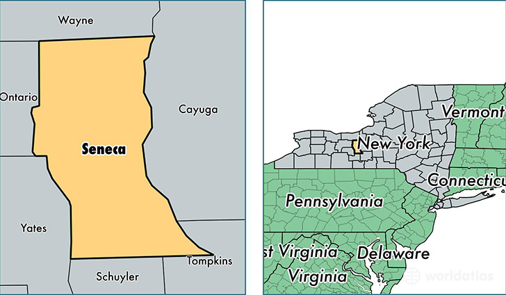
Seneca County is a county equivalent area found in New York, USA. The county government of Seneca is found in the county seat of Waterloo.
With a total 1,011.23 sq. km of land and water area, Seneca County, New York is the 2635th largest county equivalent area in the United States. Home to 34,884 people, Seneca County has a total 16082 households earning 47618 on average per year.
Seneca County, New York offers the following attraction to visitors: Women's Rights NHP
Seneca County, New York - Quick Facts
| FIPS Code | 36099 |
| Area Codes | 315,607 |
| Time Zone | EST |
| Major Cities | Seneca Falls (population: 10,766), Waterloo (population: 10,757), Romulus (population: 4,135), Ovid (population: 2,765), Interlaken (population: 2,401), Lodi (population: 1,040), Willard (population: 750) |
| Land Area | 13,469 sq miles |
| Water Area | 324 sq miles |
| Household Income | $47,618 |
| Housing Units | 16,082 |
| Median Home Value | $94,400 |
| High School Grads | 85% of population |
| Holders of Bachelors Degrees | 19% of population |
| Retail Spending | $12,435 per capita |
| Food & Accomodation Sales | $32,950 per capita |
This page was last updated on June 30, 2016.