Where is Nassau County, New York?
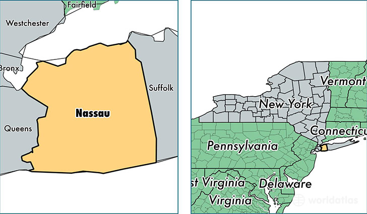
Nassau County is a county equivalent area found in New York, USA. The county government of Nassau is found in the county seat of Mineola.
With a total 1,174.5 sq. km of land and water area, Nassau County, New York is the 2330th largest county equivalent area in the United States. Home to 1,358,627 people, Nassau County has a total 466078 households earning 97690 on average per year.
Nassau County, New York offers the following attractions to visitors: Theodore Roosevelt Tomb, Theodore Roosevelt Home, Sagamore Hill NHS
Nassau is the home to this professional sports team: New York Islanders (NHL)
Nassau County, New York - Quick Facts
| FIPS Code | 36059 |
| Area Codes | 516 |
| Time Zone | EST |
| Major Cities | Valley Stream (population: 61,397), Hempstead (population: 59,786), Massapequa (population: 54,193), Westbury (population: 46,099), Freeport (population: 43,654), Levittown (population: 43,100), Elmont (population: 41,657), New Hyde Park (population: 41,625), Great Neck (population: 40,964), Hicksville (population: 39,839) |
| Land Area | 524,569 sq miles |
| Water Area | 285 sq miles |
| Household Income | $97,690 |
| Housing Units | 466,078 |
| Median Home Value | $454,500 |
| High School Grads | 90% of population |
| Holders of Bachelors Degrees | 42% of population |
| Retail Spending | $17,969 per capita |
| Food & Accomodation Sales | $2,439,350 per capita |
| Universities and Colleges | Adelphi University, Brittany Beauty School, Molloy College, New York Institute of Technology-Old Westbury, Sh'or Yoshuv Rabbinical College, SUNY College at Old Westbury |
This page was last updated on June 30, 2016.