Where is Eureka County, Nevada?
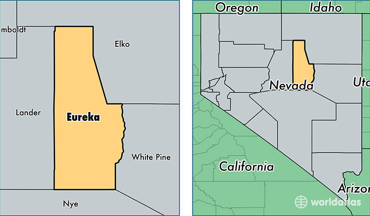
Eureka County is a county equivalent area found in Nevada, USA. The county government of Eureka is found in the county seat of Eureka.
With a total 10,826.05 sq. km of land and water area, Eureka County, Nevada is the 122nd largest county equivalent area in the United States. Home to 2,018 people, Eureka County has a total 1037 households earning 64632 on average per year.
Eureka County, Nevada - Quick Facts
| FIPS Code | 32011 |
| Area Codes | 775 |
| Time Zone | PST |
| Major Cities | Eureka (population: 1,417), Crescent Valley (population: 485) |
| Land Area | 779 sq miles |
| Water Area | 4,176 sq miles |
| Household Income | $64,632 |
| Housing Units | 1,037 |
| Median Home Value | $117,400 |
| High School Grads | 89% of population |
| Holders of Bachelors Degrees | 25% of population |
| Retail Spending | $10,605 per capita |
| Food & Accomodation Sales | $2,239 per capita |
This page was last updated on June 30, 2016.