Where is Cedar County, Nebraska?
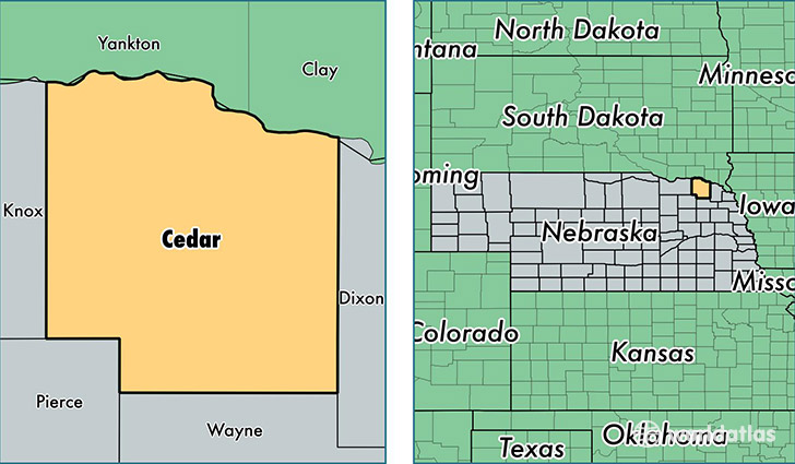
Cedar County is a county equivalent area found in Nebraska, USA. The county government of Cedar is found in the county seat of Hartington.
With a total 1,931.73 sq. km of land and water area, Cedar County, Nebraska is the 1285th largest county equivalent area in the United States. Home to 8,610 people, Cedar County has a total 4114 households earning 48038 on average per year.
Cedar County, Nebraska offers the following attraction to visitors: Missouri NRR Yankton
Cedar County, Nebraska - Quick Facts
| FIPS Code | 31027 |
| Area Codes | 402 |
| Time Zone | CST |
| Major Cities | Hartington (population: 2,966), Randolph (population: 1,617), Laurel (population: 1,553), Coleridge (population: 721), Fordyce (population: 717), Wynot (population: 402), Saint Helena (population: 343), Belden (population: 195), Magnet (population: 64) |
| Land Area | 3,324 sq miles |
| Water Area | 740 sq miles |
| Household Income | $48,038 |
| Housing Units | 4,114 |
| Median Home Value | $89,100 |
| High School Grads | 93% of population |
| Holders of Bachelors Degrees | 17% of population |
| Retail Spending | $14,277 per capita |
| Food & Accomodation Sales | $3,527 per capita |
This page was last updated on June 30, 2016.