Where is McLean County, North Dakota?
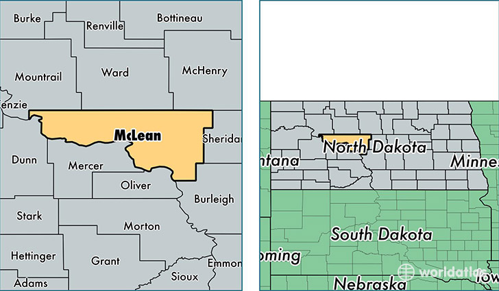
McLean County is a county equivalent area found in North Dakota, USA. The county government of McLean is found in the county seat of Washburn.
With a total 6,029.54 sq. km of land and water area, McLean County, North Dakota is the 263rd largest county equivalent area in the United States. Home to 9,578 people, McLean County has a total 5786 households earning 53565 on average per year.
McLean County, North Dakota - Quick Facts
| FIPS Code | 38055 |
| Area Codes | 701 |
| Time Zone | CST |
| Major Cities | Garrison (population: 2,543), Washburn (population: 1,735), Wilton (population: 1,244), Underwood (population: 989), Turtle Lake (population: 955), Douglas (population: 328), Coleharbor (population: 318), Roseglen (population: 301), Butte (population: 239), Mercer (population: 225) |
| Land Area | 3,698 sq miles |
| Water Area | 2,110 sq miles |
| Household Income | $53,565 |
| Housing Units | 5,786 |
| Median Home Value | $117,000 |
| High School Grads | 91% of population |
| Holders of Bachelors Degrees | 18% of population |
| Retail Spending | $6,332 per capita |
| Food & Accomodation Sales | $7,185 per capita |
This page was last updated on June 30, 2016.