Where is Haywood County, North Carolina?
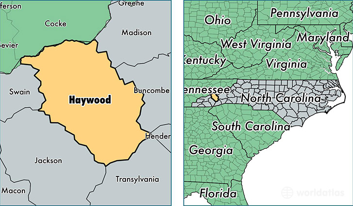
Haywood County is a county equivalent area found in North Carolina, USA. The county government of Haywood is found in the county seat of Waynesville.
With a total 1,436.49 sq. km of land and water area, Haywood County, North Carolina is the 1992nd largest county equivalent area in the United States. Home to 59,471 people, Haywood County has a total 34901 households earning 41557 on average per year.
Haywood County, North Carolina offers the following attraction to visitors: Great Smoky Mountains NP
Haywood County, North Carolina - Quick Facts
| FIPS Code | 37087 |
| Area Codes | 828 |
| Time Zone | EST |
| Major Cities | Waynesville (population: 27,991), Canton (population: 17,439), Clyde (population: 10,041), Maggie Valley (population: 2,909), Lake Junaluska (population: 549) |
| Land Area | 22,962 sq miles |
| Water Area | 554 sq miles |
| Household Income | $41,557 |
| Housing Units | 34,901 |
| Median Home Value | $156,900 |
| High School Grads | 86% of population |
| Holders of Bachelors Degrees | 23% of population |
| Retail Spending | $14,501 per capita |
| Food & Accomodation Sales | $99,102 per capita |
This page was last updated on June 30, 2016.