Durham County, NC, USA
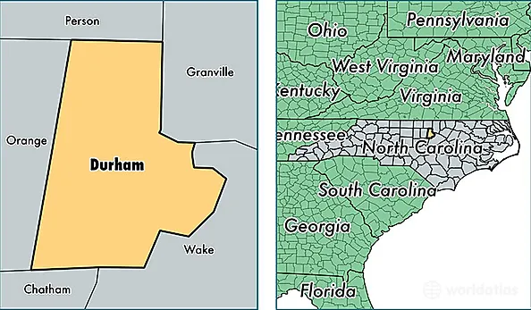
Durham County is a county equivalent area found in North Carolina, USA. The county government of Durham is found in the county seat of Durham.
With a total 771.47 sq. km of land and water area, Durham County, North Carolina is the 2852nd largest county equivalent area in the United States. Home to 294,460 people, Durham County has a total 125001 households earning 51853 on average per year.
Durham County, North Carolina - Quick Facts
| FIPS Code | 37063 |
| Area Codes | 919 |
| Time Zone | EST |
| Major Cities | Durham (population: 269,003), Bahama (population: 3,627) |
| Land Area | 113,692 sq miles |
| Water Area | 286 sq miles |
| Household Income | $51,853 |
| Housing Units | 125,001 |
| Median Home Value | $180,600 |
| High School Grads | 87% of population |
| Holders of Bachelors Degrees | 45% of population |
| Retail Spending | $12,257 per capita |
| Food & Accomodation Sales | $729,319 per capita |