Where is Duplin County, North Carolina?
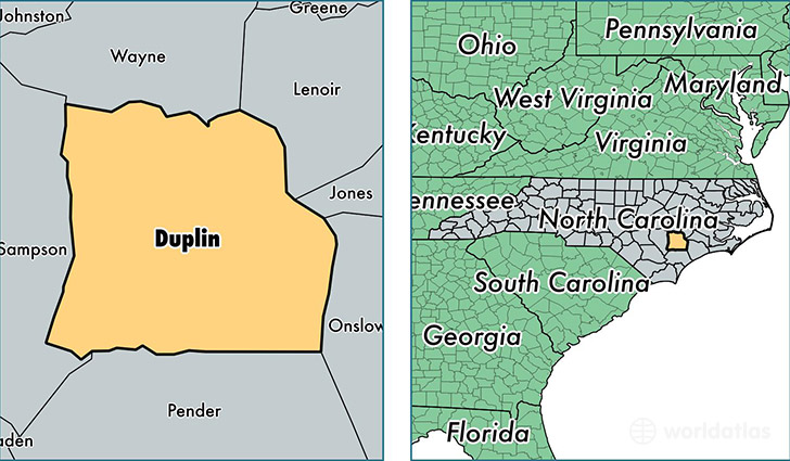
Duplin County is a county equivalent area found in North Carolina, USA. The county government of Duplin is found in the county seat of Kenansville.
With a total 2,128.13 sq. km of land and water area, Duplin County, North Carolina is the 1127th largest county equivalent area in the United States. Home to 59,882 people, Duplin County has a total 25370 households earning 34433 on average per year.
Duplin County, North Carolina - Quick Facts
| FIPS Code | 37061 |
| Area Codes | 919,910,252 |
| Time Zone | EST |
| Major Cities | Wallace (population: 10,375), Warsaw (population: 8,323), Beulaville (population: 8,121), Pink Hill (population: 6,620), Rose Hill (population: 6,594), Magnolia (population: 3,923), Kenansville (population: 3,821), Albertson (population: 2,808), Teachey (population: 2,521), Chinquapin (population: 2,347) |
| Land Area | 23,121 sq miles |
| Water Area | 816 sq miles |
| Household Income | $34,433 |
| Housing Units | 25,370 |
| Median Home Value | $87,600 |
| High School Grads | 71% of population |
| Holders of Bachelors Degrees | 10% of population |
| Retail Spending | $7,879 per capita |
| Food & Accomodation Sales | $42,245 per capita |
| Universities and Colleges | James Sprunt Community College |
This page was last updated on June 30, 2016.