Where is Dare County, North Carolina?
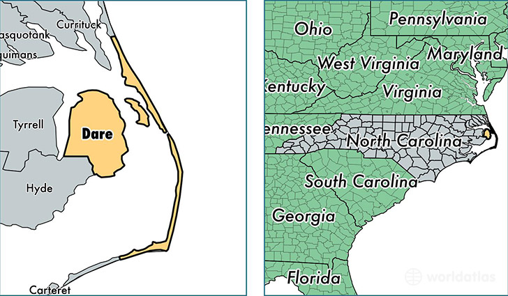
Dare County is a county equivalent area found in North Carolina, USA. The county government of Dare is found in the county seat of Manteo.
With a total 4,047.02 sq. km of land and water area, Dare County, North Carolina is the 426th largest county equivalent area in the United States. Home to 35,104 people, Dare County has a total 33783 households earning 55481 on average per year.
Dare County, North Carolina offers the following attractions to visitors: Cape Hatteras NS, Fort Raleigh NHS, Wright Brothers NMEM
Dare County, North Carolina - Quick Facts
| FIPS Code | 37055 |
| Area Codes | 252 |
| Time Zone | EST |
| Major Cities | Kill Devil Hills (population: 11,071), Kitty Hawk (population: 7,080), Manteo (population: 6,228), Nags Head (population: 2,842), Wanchese (population: 1,674), Buxton (population: 1,351), Frisco (population: 1,112), Manns Harbor (population: 1,040), Avon (population: 791), Hatteras (population: 513) |
| Land Area | 13,554 sq miles |
| Water Area | 383 sq miles |
| Household Income | $55,481 |
| Housing Units | 33,783 |
| Median Home Value | $293,900 |
| High School Grads | 92% of population |
| Holders of Bachelors Degrees | 31% of population |
| Retail Spending | $25,548 per capita |
| Food & Accomodation Sales | $248,321 per capita |
This page was last updated on June 30, 2016.