Bladen County, NC, USA
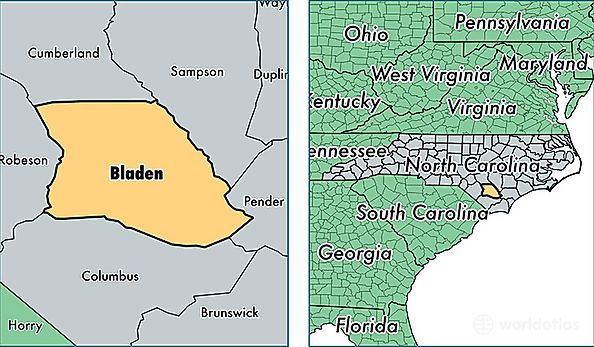
Bladen County is a county equivalent area found in North Carolina, USA. The county government of Bladen is found in the county seat of Elizabethtown.
With a total 2,297.72 sq. km of land and water area, Bladen County, North Carolina is the 1006th largest county equivalent area in the United States. Home to 34,657 people, Bladen County has a total 17501 households earning 30164 on average per year.
Bladen County, North Carolina - Quick Facts
| FIPS Code | 37017 |
| Area Codes | 910 |
| Time Zone | EST |
| Major Cities | Elizabethtown (population: 10,586), Bladenboro (population: 9,156), Clarkton (population: 5,010), White Oak (population: 2,123), Harrells (population: 2,089), Tar Heel (population: 1,566), Council (population: 1,318), Kelly (population: 1,235), Dublin (population: 478) |
| Land Area | 13,381 sq miles |
| Water Area | 875 sq miles |
| Household Income | $30,164 |
| Housing Units | 17,501 |
| Median Home Value | $81,800 |
| High School Grads | 75% of population |
| Holders of Bachelors Degrees | 11% of population |
| Retail Spending | $6,086 per capita |
| Food & Accomodation Sales | $23,299 per capita |
| Universities and Colleges | Bladen Community College |