Where is Monroe County, Mississippi?
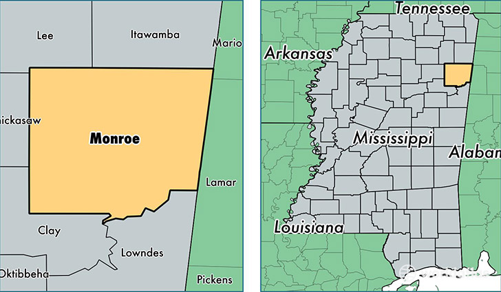
Monroe County is a county equivalent area found in Mississippi, USA. The county government of Monroe is found in the county seat of Aberdeen.
With a total 1,999.72 sq. km of land and water area, Monroe County, Mississippi is the 1233rd largest county equivalent area in the United States. Home to 36,003 people, Monroe County has a total 16361 households earning 36308 on average per year.
Monroe County, Mississippi - Quick Facts
| FIPS Code | 28095 |
| Area Codes | 662 |
| Time Zone | CST |
| Major Cities | Amory (population: 12,335), Aberdeen (population: 11,623), Hamilton (population: 3,134), Smithville (population: 3,075), Greenwood Springs (population: 834), Gattman (population: 128) |
| Land Area | 13,901 sq miles |
| Water Area | 765 sq miles |
| Household Income | $36,308 |
| Housing Units | 16,361 |
| Median Home Value | $78,500 |
| High School Grads | 77% of population |
| Holders of Bachelors Degrees | 13% of population |
| Retail Spending | $7,610 per capita |
| Food & Accomodation Sales | $21,770 per capita |
This page was last updated on June 30, 2016.