Where is Clay County, Mississippi?
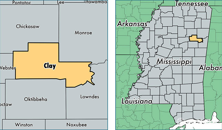
Clay County is a county equivalent area found in Mississippi, USA. The county government of Clay is found in the county seat of West Point.
With a total 1,077.46 sq. km of land and water area, Clay County, Mississippi is the 2510th largest county equivalent area in the United States. Home to 20,225 people, Clay County has a total 9144 households earning 30764 on average per year.
Clay County, Mississippi - Quick Facts
| FIPS Code | 28025 |
| Area Codes | 662 |
| Time Zone | CST |
| Major Cities | West Point (population: 16,501), Prairie (population: 1,921), Cedarbluff (population: 1,544), Pheba (population: 1,044) |
| Land Area | 7,809 sq miles |
| Water Area | 410 sq miles |
| Household Income | $30,764 |
| Housing Units | 9,144 |
| Median Home Value | $80,600 |
| High School Grads | 79% of population |
| Holders of Bachelors Degrees | 18% of population |
| Retail Spending | $6,037 per capita |
| Food & Accomodation Sales | $15,843 per capita |
This page was last updated on June 30, 2016.