Where is Wright County, Missouri?
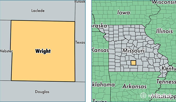
Wright County is a county equivalent area found in Missouri, USA. The county government of Wright is found in the county seat of Hartville.
With a total 1,769.31 sq. km of land and water area, Wright County, Missouri is the 1483rd largest county equivalent area in the United States. Home to 18,291 people, Wright County has a total 8593 households earning 28645 on average per year.
Wright County, Missouri - Quick Facts
| FIPS Code | 29229 |
| Area Codes | 417 |
| Time Zone | CST |
| Major Cities | Mountain Grove (population: 9,833), Mansfield (population: 4,008), Hartville (population: 3,272), Norwood (population: 2,544), Grovespring (population: 1,257), Macomb (population: 468), Graff (population: 180) |
| Land Area | 7,062 sq miles |
| Water Area | 682 sq miles |
| Household Income | $28,645 |
| Housing Units | 8,593 |
| Median Home Value | $86,700 |
| High School Grads | 77% of population |
| Holders of Bachelors Degrees | 11% of population |
| Retail Spending | $13,121 per capita |
| Food & Accomodation Sales | $38,047 per capita |
This page was last updated on June 30, 2016.