Where is Pope County, Minnesota?
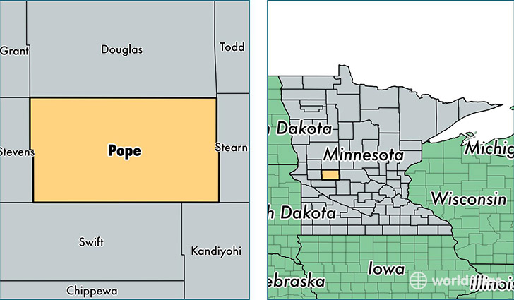
Pope County is a county equivalent area found in Minnesota, USA. The county government of Pope is found in the county seat of Glenwood.
With a total 1,857.29 sq. km of land and water area, Pope County, Minnesota is the 1392nd largest county equivalent area in the United States. Home to 10,984 people, Pope County has a total 6500 households earning 52350 on average per year.
Pope County, Minnesota - Quick Facts
| FIPS Code | 27121 |
| Area Codes | 320 |
| Time Zone | CST |
| Major Cities | Glenwood (population: 5,447), Starbuck (population: 2,434), Villard (population: 919), Lowry (population: 727), Cyrus (population: 491) |
| Land Area | 4,241 sq miles |
| Water Area | 670 sq miles |
| Household Income | $52,350 |
| Housing Units | 6,500 |
| Median Home Value | $148,000 |
| High School Grads | 92% of population |
| Holders of Bachelors Degrees | 21% of population |
| Retail Spending | $9,428 per capita |
| Food & Accomodation Sales | $12,597 per capita |
This page was last updated on June 30, 2016.