Where is Olmsted County, Minnesota?
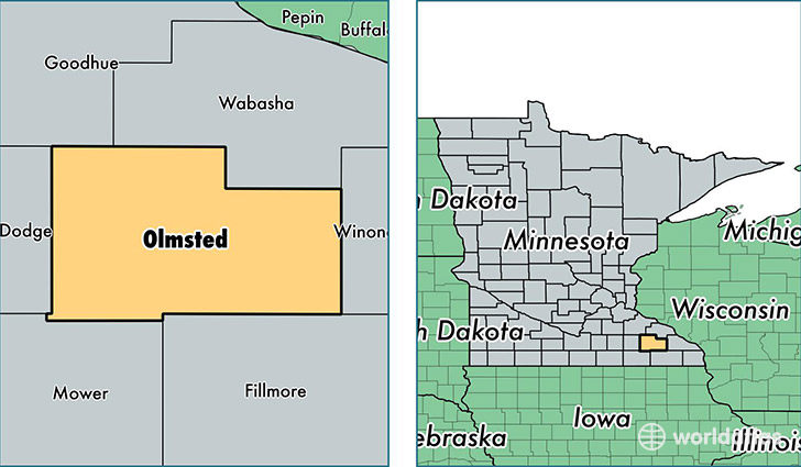
Olmsted County is a county equivalent area found in Minnesota, USA. The county government of Olmsted is found in the county seat of Rochester.
With a total 1,696.08 sq. km of land and water area, Olmsted County, Minnesota is the 1559th largest county equivalent area in the United States. Home to 150,287 people, Olmsted County has a total 61213 households earning 66252 on average per year.
Olmsted County, Minnesota - Quick Facts
| FIPS Code | 27109 |
| Area Codes | 507 |
| Time Zone | CST |
| Major Cities | Rochester (population: 120,113), Stewartville (population: 7,727), Byron (population: 7,163), Eyota (population: 3,403), Oronoco (population: 3,194), Zumbro Falls (population: 1,477), Dover (population: 1,232) |
| Land Area | 58,026 sq miles |
| Water Area | 654 sq miles |
| Household Income | $66,252 |
| Housing Units | 61,213 |
| Median Home Value | $171,100 |
| High School Grads | 94% of population |
| Holders of Bachelors Degrees | 40% of population |
| Retail Spending | $15,631 per capita |
| Food & Accomodation Sales | $326,873 per capita |
| Universities and Colleges | Mayo Medical School |
This page was last updated on June 30, 2016.