Where is Dodge County, Minnesota?
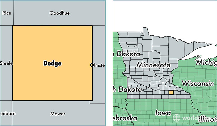
Dodge County is a county equivalent area found in Minnesota, USA. The county government of Dodge is found in the county seat of Mantorville.
With a total 1,138.52 sq. km of land and water area, Dodge County, Minnesota is the 2388th largest county equivalent area in the United States. Home to 20,353 people, Dodge County has a total 7981 households earning 69301 on average per year.
Dodge County, Minnesota - Quick Facts
| FIPS Code | 27039 |
| Area Codes | 507 |
| Time Zone | CST |
| Major Cities | Kasson (population: 7,202), Dodge Center (population: 4,100), Mantorville (population: 2,765), Hayfield (population: 2,686), West Concord (population: 1,870), Claremont (population: 1,308) |
| Land Area | 7,858 sq miles |
| Water Area | 439 sq miles |
| Household Income | $69,301 |
| Housing Units | 7,981 |
| Median Home Value | $161,100 |
| High School Grads | 92% of population |
| Holders of Bachelors Degrees | 24% of population |
| Retail Spending | $4,727 per capita |
| Food & Accomodation Sales | $11,799 per capita |
This page was last updated on June 30, 2016.