Clay County, MN, USA
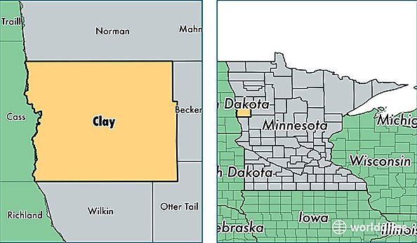
Clay County is a county equivalent area found in Minnesota, USA. The county government of Clay is found in the county seat of Moorhead.
With a total 2,726.35 sq. km of land and water area, Clay County, Minnesota is the 714th largest county equivalent area in the United States. Home to 61,286 people, Clay County has a total 24434 households earning 52410 on average per year.
Clay County, Minnesota - Quick Facts
| FIPS Code | 27027 |
| Area Codes | 218 |
| Time Zone | CST |
| Major Cities | Moorhead (population: 41,564), Hawley (population: 4,596), Dilworth (population: 4,104), Barnesville (population: 3,762), Glyndon (population: 2,752), Sabin (population: 1,193), Ulen (population: 1,069), Felton (population: 491), Hitterdal (population: 437), Georgetown (population: 352) |
| Land Area | 23,663 sq miles |
| Water Area | 1,046 sq miles |
| Household Income | $52,410 |
| Housing Units | 24,434 |
| Median Home Value | $155,200 |
| High School Grads | 94% of population |
| Holders of Bachelors Degrees | 30% of population |
| Retail Spending | $11,534 per capita |
| Food & Accomodation Sales | $58,515 per capita |