Where is Chisago County, Minnesota?
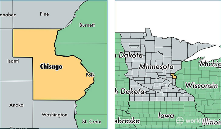
Chisago County is a county equivalent area found in Minnesota, USA. The county government of Chisago is found in the county seat of Center City.
With a total 1,145.78 sq. km of land and water area, Chisago County, Minnesota is the 2378th largest county equivalent area in the United States. Home to 54,025 people, Chisago County has a total 21184 households earning 67157 on average per year.
Chisago County, Minnesota - Quick Facts
| FIPS Code | 27025 |
| Area Codes | 651,320 |
| Time Zone | CST |
| Major Cities | North Branch (population: 13,469), Wyoming (population: 10,864), Stacy (population: 8,364), Lindstrom (population: 7,515), Chisago City (population: 6,488), Rush City (population: 5,491), Harris (population: 3,586), Shafer (population: 2,204), Center City (population: 2,061), Taylors Falls (population: 1,614) |
| Land Area | 20,859 sq miles |
| Water Area | 415 sq miles |
| Household Income | $67,157 |
| Housing Units | 21,184 |
| Median Home Value | $197,000 |
| High School Grads | 93% of population |
| Holders of Bachelors Degrees | 21% of population |
| Retail Spending | $8,586 per capita |
| Food & Accomodation Sales | $43,041 per capita |
This page was last updated on June 30, 2016.