Where is Berrien County, Michigan?
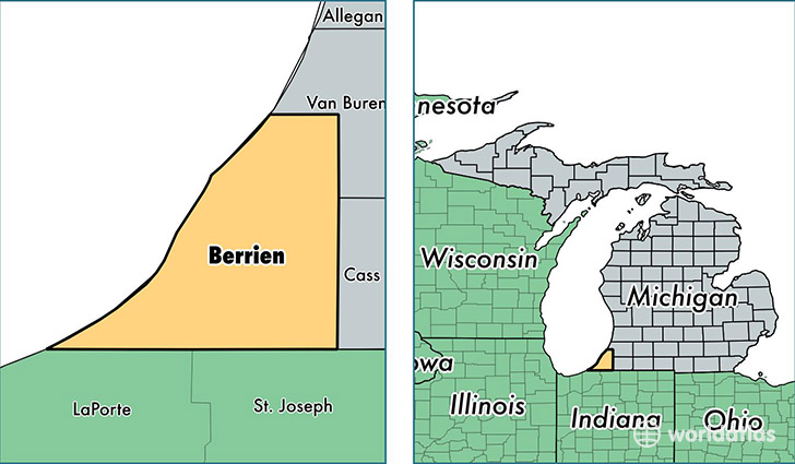
Berrien County is a county equivalent area found in Michigan, USA. The county government of Berrien is found in the county seat of Saint Joseph.
With a total 4,095.99 sq. km of land and water area, Berrien County, Michigan is the 423rd largest county equivalent area in the United States. Home to 155,233 people, Berrien County has a total 76524 households earning 43633 on average per year.
Berrien County, Michigan - Quick Facts
| FIPS Code | 26021 |
| Area Codes | 269 |
| Time Zone | EST |
| Major Cities | Niles (population: 36,983), Benton Harbor (population: 31,661), Saint Joseph (population: 23,690), Berrien Springs (population: 11,892), Stevensville (population: 10,643), Buchanan (population: 10,332), Coloma (population: 9,263), Watervliet (population: 5,934), Bridgman (population: 4,613), New Buffalo (population: 3,932) |
| Land Area | 59,936 sq miles |
| Water Area | 568 sq miles |
| Household Income | $43,633 |
| Housing Units | 76,524 |
| Median Home Value | $129,300 |
| High School Grads | 87% of population |
| Holders of Bachelors Degrees | 24% of population |
| Retail Spending | $10,150 per capita |
| Food & Accomodation Sales | $219,492 per capita |
| Universities and Colleges | Andrews University, Lake Michigan College |
This page was last updated on June 30, 2016.