Where is Portland, ME?
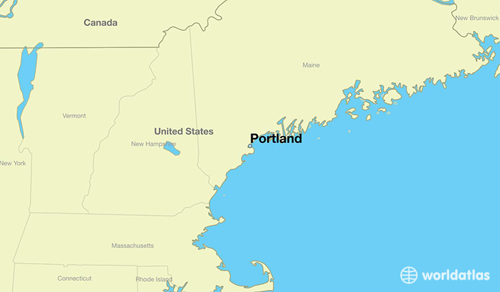
Portland is a city found in Maine, The United States Of America. It is located 43.66 latitude and -70.26 longitude and it is situated at elevation 19 meters above sea level.
Portland has a population of 66,194 making it the biggest city in Maine. It operates on the EDT time zone.
Quick facts
| Country | The United States Of America |
| State | Maine |
| Population | 66,194 |
| Elevation | 19 m over sea level |
| Time Zone | EDT |
| Longitude | -70.255330 |
| Latitude | 43.661470 |
Portland has a population of around 66490, of which 32666 (49%) are male and 33824 (50%) are female. The average age of the inhabitants of Portland is 38.45, meaning that the average person is above the national median age of 37. For every male, there are approximately 1.04 females, meaning that the population is relatively evenly distributed between males and female(s).
Of Portland's 66490 residents, around 64379 (96.80%) identify as having a single race. The majority of the population is white, which consists of 85.30% of the population. Of the remaining population, 5140 are black/African Americans (7.70%), 75 are native Americans (0.10%), 2027 are asians (3.00%), 412 are other (0.60%).
The median income of households in Portland is $46280.00, meaning that most of the households are above the poverty threshold for families of three. Of the total population, 11.00% of households reported an annual income of less than $10,000.
Portland, ME Zipcodes
The city of Portland has 7 zipcodes recognized by the United States Census Bureau: 4019, 4050, 4101, 4102, 4103, 4108, 4109.