Where is Worcester County, Maryland?
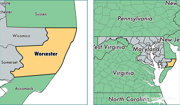
Worcester County is a county equivalent area found in Maryland, USA. The county government of Worcester is found in the county seat of Snow Hill.
With a total 1,799.67 sq. km of land and water area, Worcester County, Maryland is the 1455th largest county equivalent area in the United States. Home to 51,675 people, Worcester County has a total 55579 households earning 57952 on average per year.
Worcester County, Maryland offers the following attraction to visitors: Assateague Island NS
Worcester County, Maryland - Quick Facts
| FIPS Code | 24047 |
| Area Codes | 410 |
| Time Zone | EST |
| Major Cities | Berlin (population: 22,604), Ocean City (population: 11,115), Pocomoke City (population: 7,325), Snow Hill (population: 5,041), Bishopville (population: 2,858), Eden (population: 1,937), Newark (population: 862), Whaleyville (population: 719), Stockton (population: 612), Girdletree (population: 528) |
| Land Area | 19,952 sq miles |
| Water Area | 468 sq miles |
| Household Income | $57,952 |
| Housing Units | 55,579 |
| Median Home Value | $253,400 |
| High School Grads | 89% of population |
| Holders of Bachelors Degrees | 28% of population |
| Retail Spending | $17,779 per capita |
| Food & Accomodation Sales | $506,848 per capita |
This page was last updated on June 30, 2016.