Where is Dorchester County, Maryland?
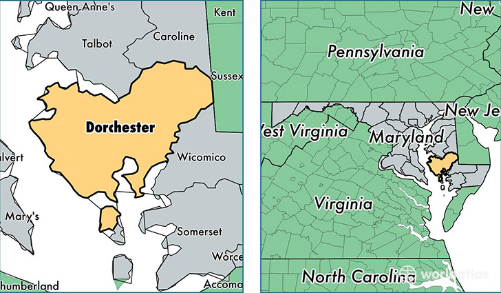
Dorchester County is a county equivalent area found in Maryland, USA. The county government of Dorchester is found in the county seat of Cambridge.
With a total 2,545.93 sq. km of land and water area, Dorchester County, Maryland is the 793rd largest county equivalent area in the United States. Home to 32,578 people, Dorchester County has a total 16646 households earning 46361 on average per year.
Dorchester County, Maryland offers the following attraction to visitors: Harriet Tubman National Monument
Dorchester County, Maryland - Quick Facts
| FIPS Code | 24019 |
| Area Codes | 410 |
| Time Zone | EST |
| Major Cities | Cambridge (population: 17,294), Hurlock (population: 5,966), East New Market (population: 2,725), Rhodesdale (population: 1,547), Vienna (population: 1,003), Church Creek (population: 556), Secretary (population: 537), Linkwood (population: 505), Woolford (population: 439), Fishing Creek (population: 304) |
| Land Area | 12,578 sq miles |
| Water Area | 541 sq miles |
| Household Income | $46,361 |
| Housing Units | 16,646 |
| Median Home Value | $191,100 |
| High School Grads | 83% of population |
| Holders of Bachelors Degrees | 18% of population |
| Retail Spending | $10,030 per capita |
| Food & Accomodation Sales | $81,825 per capita |
This page was last updated on June 30, 2016.