Where is Anne Arundel County, Maryland?
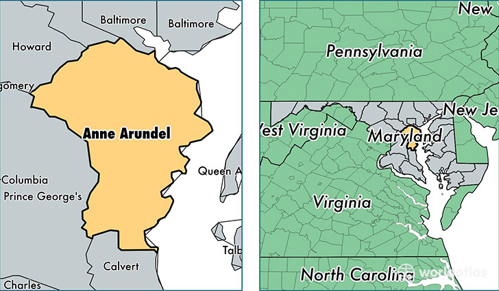
Anne Arundel County is a county equivalent area found in Maryland, USA. The county government of Anne Arundel is found in the county seat of Annapolis.
With a total 1,522.39 sq. km of land and water area, Anne Arundel County, Maryland is the 1787th largest county equivalent area in the United States. Home to 560,133 people, Anne Arundel County has a total 217028 households earning 87430 on average per year.
Anne Arundel County, Maryland - Quick Facts
| FIPS Code | 24003 |
| Area Codes | 410,301 |
| Time Zone | EST |
| Major Cities | Annapolis (population: 94,301), Glen Burnie (population: 84,885), Pasadena (population: 62,021), Severn (population: 32,644), Odenton (population: 31,196), Severna Park (population: 27,342), Crofton (population: 25,827), Arnold (population: 21,825), Edgewater (population: 21,110), Millersville (population: 18,392) |
| Land Area | 216,268 sq miles |
| Water Area | 415 sq miles |
| Household Income | $87,430 |
| Housing Units | 217,028 |
| Median Home Value | $340,000 |
| High School Grads | 91% of population |
| Holders of Bachelors Degrees | 37% of population |
| Retail Spending | $18,491 per capita |
| Food & Accomodation Sales | $1,288,086 per capita |
This page was last updated on June 30, 2016.