Where is Livingston Parish, Louisiana?
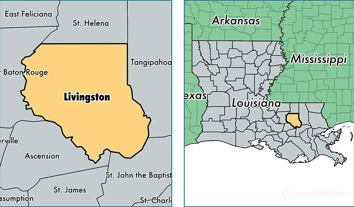
Livingston Parish is a county equivalent area found in Louisiana, USA. The parish government of Livingston is found in the parish seat of Livingston.
With a total 1,790.87 sq. km of land and water area, Livingston Parish, Louisiana is the 1462nd largest county equivalent area in the United States. Home to 135,751 people, Livingston Parish has a total 52706 households earning 56811 on average per year.
Livingston Parish, Louisiana - Quick Facts
| FIPS Code | 22063 |
| Area Codes | 225,985 |
| Time Zone | CST |
| Major Cities | Denham Springs (population: 73,487), Walker (population: 21,620), Livingston (population: 10,481), Holden (population: 6,356), Springfield (population: 5,871), Albany (population: 5,427), Maurepas (population: 3,721), French Settlement (population: 1,670) |
| Land Area | 52,414 sq miles |
| Water Area | 648 sq miles |
| Household Income | $56,811 |
| Housing Units | 52,706 |
| Median Home Value | $152,500 |
| High School Grads | 85% of population |
| Holders of Bachelors Degrees | 18% of population |
| Retail Spending | $7,893 per capita |
| Food & Accomodation Sales | $89,170 per capita |
| Universities and Colleges | Denham Springs Beauty School |
This page was last updated on June 30, 2016.