Where is Lafourche Parish, Louisiana?
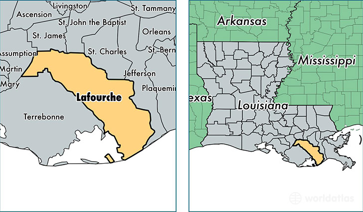
Lafourche Parish is a county equivalent area found in Louisiana, USA. The parish government of Lafourche is found in the parish seat of Thibodaux.
With a total 3,804.52 sq. km of land and water area, Lafourche Parish, Louisiana is the 457th largest county equivalent area in the United States. Home to 98,020 people, Lafourche Parish has a total 39163 households earning 50572 on average per year.
Lafourche Parish, Louisiana - Quick Facts
| FIPS Code | 22057 |
| Area Codes | 985 |
| Time Zone | CST |
| Major Cities | Thibodaux (population: 43,312), Raceland (population: 14,433), Cut Off (population: 9,826), Larose (population: 7,193), Lockport (population: 7,177), Galliano (population: 4,967), Golden Meadow (population: 3,065), Gheens (population: 1,048), Mathews (population: 125) |
| Land Area | 37,846 sq miles |
| Water Area | 1,068 sq miles |
| Household Income | $50,572 |
| Housing Units | 39,163 |
| Median Home Value | $126,500 |
| High School Grads | 74% of population |
| Holders of Bachelors Degrees | 15% of population |
| Retail Spending | $9,878 per capita |
| Food & Accomodation Sales | $106,618 per capita |
| Universities and Colleges | Nicholls State University, Louisiana Technical College-Lafourche Campus |
This page was last updated on June 30, 2016.