Where is Livingston County, Kentucky?
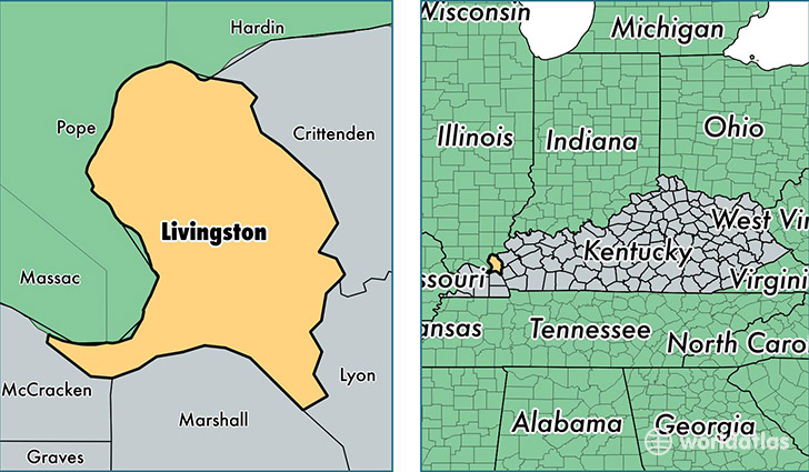
Livingston County is a county equivalent area found in Kentucky, USA. The county government of Livingston is found in the county seat of Smithland.
With a total 886.64 sq. km of land and water area, Livingston County, Kentucky is the 2757th largest county equivalent area in the United States. Home to 9,359 people, Livingston County has a total 4783 households earning 40313 on average per year.
Livingston County, Kentucky - Quick Facts
| FIPS Code | 21139 |
| Area Codes | 270 |
| Time Zone | CST |
| Major Cities | Ledbetter (population: 2,312), Smithland (population: 2,180), Grand Rivers (population: 2,067), Salem (population: 1,834), Burna (population: 628), Tiline (population: 441), Hampton (population: 190) |
| Land Area | 3,614 sq miles |
| Water Area | 313 sq miles |
| Household Income | $40,313 |
| Housing Units | 4,783 |
| Median Home Value | $74,400 |
| High School Grads | 82% of population |
| Holders of Bachelors Degrees | 11% of population |
| Retail Spending | $3,103 per capita |
This page was last updated on June 30, 2016.