Where is Bullitt County, Kentucky?
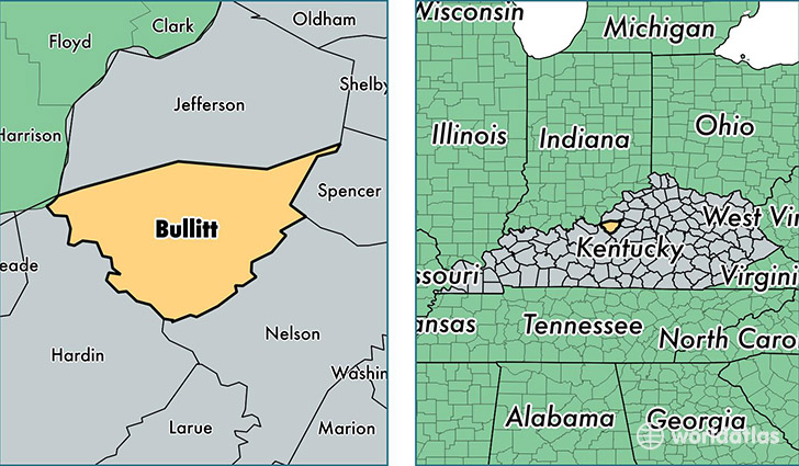
Bullitt County is a county equivalent area found in Kentucky, USA. The county government of Bullitt is found in the county seat of Shepherdsville.
With a total 777.68 sq. km of land and water area, Bullitt County, Kentucky is the 2850th largest county equivalent area in the United States. Home to 77,955 people, Bullitt County has a total 30130 households earning 54836 on average per year.
Bullitt County, Kentucky - Quick Facts
| FIPS Code | 21029 |
| Area Codes | 502 |
| Time Zone | EST |
| Major Cities | Shepherdsville (population: 33,420), Mount Washington (population: 19,755), Lebanon Junction (population: 4,189), Brooks (population: 2,032), Clermont (population: 61) |
| Land Area | 30,099 sq miles |
| Water Area | 297 sq miles |
| Household Income | $54,836 |
| Housing Units | 30,130 |
| Median Home Value | $145,500 |
| High School Grads | 85% of population |
| Holders of Bachelors Degrees | 13% of population |
| Retail Spending | $6,788 per capita |
| Food & Accomodation Sales | $73,041 per capita |
This page was last updated on June 30, 2016.