Where is Wilson County, Kansas?
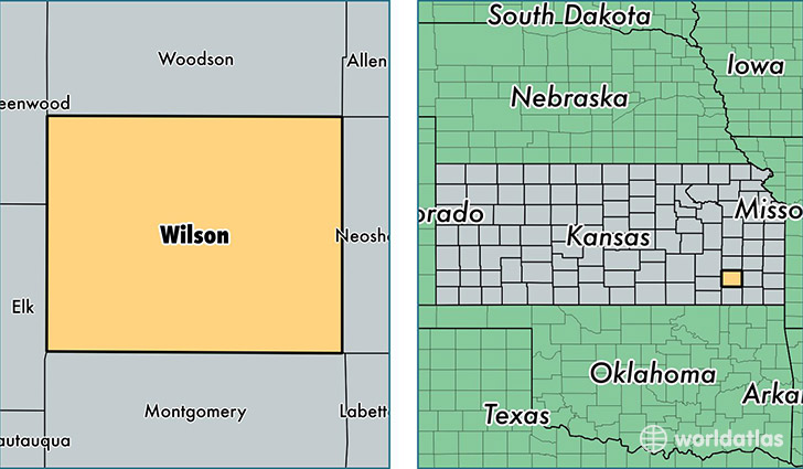
Wilson County is a county equivalent area found in Kansas, USA. The county government of Wilson is found in the county seat of Fredonia.
With a total 1,489.43 sq. km of land and water area, Wilson County, Kansas is the 1879th largest county equivalent area in the United States. Home to 9,028 people, Wilson County has a total 4647 households earning 38917 on average per year.
Wilson County, Kansas - Quick Facts
| FIPS Code | 20205 |
| Area Codes | 620 |
| Time Zone | CST |
| Major Cities | Fredonia (population: 3,825), Neodesha (population: 3,445), Altoona (population: 721), Fall River (population: 704), Buffalo (population: 480), Benedict (population: 171), New Albany (population: 44) |
| Land Area | 3,486 sq miles |
| Water Area | 570 sq miles |
| Household Income | $38,917 |
| Housing Units | 4,647 |
| Median Home Value | $63,200 |
| High School Grads | 82% of population |
| Holders of Bachelors Degrees | 13% of population |
| Retail Spending | $5,539 per capita |
| Food & Accomodation Sales | $5,805 per capita |
This page was last updated on June 30, 2016.