Where is Miami County, Kansas?
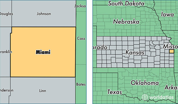
Miami County is a county equivalent area found in Kansas, USA. The county government of Miami is found in the county seat of Paola.
With a total 1,528.76 sq. km of land and water area, Miami County, Kansas is the 1780th largest county equivalent area in the United States. Home to 32,822 people, Miami County has a total 13229 households earning 58936 on average per year.
Miami County, Kansas - Quick Facts
| FIPS Code | 20121 |
| Area Codes | 913 |
| Time Zone | CST |
| Major Cities | Paola (population: 12,294), Louisburg (population: 7,483), Osawatomie (population: 6,065), Bucyrus (population: 1,856), Fontana (population: 691) |
| Land Area | 12,673 sq miles |
| Water Area | 576 sq miles |
| Household Income | $58,936 |
| Housing Units | 13,229 |
| Median Home Value | $162,500 |
| High School Grads | 94% of population |
| Holders of Bachelors Degrees | 24% of population |
| Retail Spending | $8,183 per capita |
| Food & Accomodation Sales | $23,967 per capita |
This page was last updated on June 30, 2016.