Where is Whitley County, Indiana?
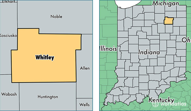
Whitley County is a county equivalent area found in Indiana, USA. The county government of Whitley is found in the county seat of Columbia City.
With a total 875.19 sq. km of land and water area, Whitley County, Indiana is the 2766th largest county equivalent area in the United States. Home to 33,403 people, Whitley County has a total 14346 households earning 51914 on average per year.
Whitley County, Indiana - Quick Facts
| FIPS Code | 18183 |
| Area Codes | 260 |
| Time Zone | EST |
| Major Cities | Columbia City (population: 23,114), Churubusco (population: 7,724), South Whitley (population: 3,899), Larwill (population: 1,499) |
| Land Area | 12,897 sq miles |
| Water Area | 336 sq miles |
| Household Income | $51,914 |
| Housing Units | 14,346 |
| Median Home Value | $126,300 |
| High School Grads | 90% of population |
| Holders of Bachelors Degrees | 17% of population |
| Retail Spending | $10,547 per capita |
| Food & Accomodation Sales | $28,272 per capita |
This page was last updated on June 30, 2016.