Where is Floyd County, Indiana?
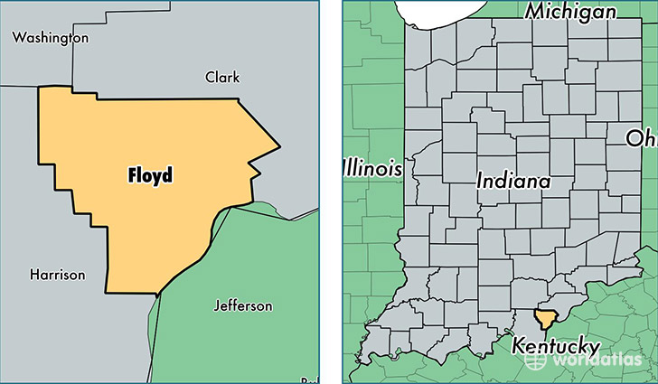
Floyd County is a county equivalent area found in Indiana, USA. The county government of Floyd is found in the county seat of New Albany.
With a total 385.8 sq. km of land and water area, Floyd County, Indiana is the 3076th largest county equivalent area in the United States. Home to 76,179 people, Floyd County has a total 32110 households earning 53961 on average per year.
Floyd County, Indiana - Quick Facts
| FIPS Code | 18043 |
| Area Codes | 812 |
| Time Zone | EST |
| Major Cities | New Albany (population: 47,921), Floyds Knobs (population: 11,016), Georgetown (population: 10,047), Greenville (population: 4,297) |
| Land Area | 29,413 sq miles |
| Water Area | 148 sq miles |
| Household Income | $53,961 |
| Housing Units | 32,110 |
| Median Home Value | $150,400 |
| High School Grads | 88% of population |
| Holders of Bachelors Degrees | 23% of population |
| Retail Spending | $10,813 per capita |
This page was last updated on June 30, 2016.