Where is Clinton County, Indiana?
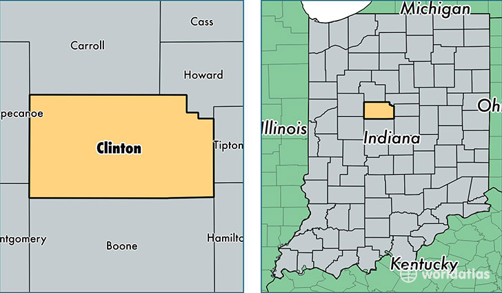
Clinton County is a county equivalent area found in Indiana, USA. The county government of Clinton is found in the county seat of Frankfort.
With a total 1,049.58 sq. km of land and water area, Clinton County, Indiana is the 2574th largest county equivalent area in the United States. Home to 32,776 people, Clinton County has a total 13218 households earning 48953 on average per year.
Clinton County, Indiana - Quick Facts
| FIPS Code | 18023 |
| Area Codes | 765 |
| Time Zone | EST |
| Major Cities | Frankfort (population: 23,746), Rossville (population: 3,649), Mulberry (population: 2,137), Kirklin (population: 1,706), Michigantown (population: 1,171), Colfax (population: 1,109), Forest (population: 740) |
| Land Area | 12,655 sq miles |
| Water Area | 405 sq miles |
| Household Income | $48,953 |
| Housing Units | 13,218 |
| Median Home Value | $97,300 |
| High School Grads | 85% of population |
| Holders of Bachelors Degrees | 13% of population |
| Retail Spending | $6,579 per capita |
| Food & Accomodation Sales | $25,067 per capita |
This page was last updated on June 30, 2016.