Where is Waukegan, IL?
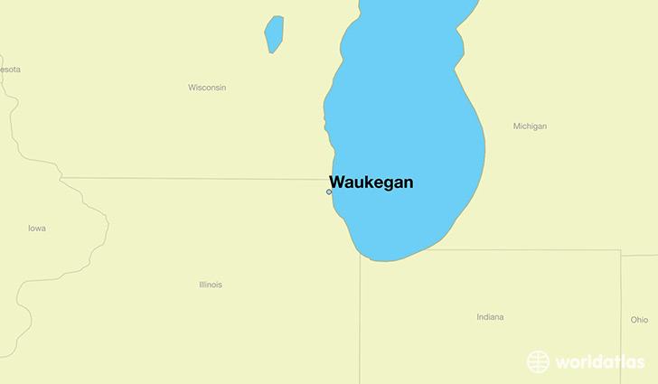
Waukegan is a city found in Illinois, The United States Of America. It is located 42.36 latitude and -87.84 longitude and it is situated at elevation 199 meters above sea level.
Waukegan has a population of 89,078 making it the 10th biggest city in Illinois. It operates on the CDT time zone, which means that it follows the same time zone as Chicago.
Quick facts
| Country | The United States Of America |
| State | Illinois |
| Population | 89,078 |
| Elevation | 199 m over sea level |
| Time Zone | CDT |
| Longitude | -87.844790 |
| Latitude | 42.363630 |
Waukegan has a population of around 88570, of which 43970 (49%) are male and 44600 (50%) are female. The average age of the inhabitants of Waukegan is 33.28, meaning that the average person is below the national median age of 37. For every male, there are approximately 1.01 females, meaning that the population is relatively evenly distributed between males and female(s).
Of Waukegan's 88570 residents, around 85425 (96.40%) identify as having a single race. The majority of the population is white, which consists of 65.10% of the population. Of the remaining population, 15103 are black/African Americans (17.10%), 234 are native Americans (0.30%), 4314 are asians (4.90%), 18 are pacific islanders (0.00%), 8094 are other (9.10%).
The median income of households in Waukegan is $45845.00, meaning that most of the households are above the poverty threshold for families of three. Of the total population, 8.50% of households reported an annual income of less than $10,000.
Waukegan, IL Zipcodes
The city of Waukegan has 6 zipcodes recognized by the United States Census Bureau: 60031, 60048, 60083, 60085, 60087, 60099.