Where is Elgin, IL?
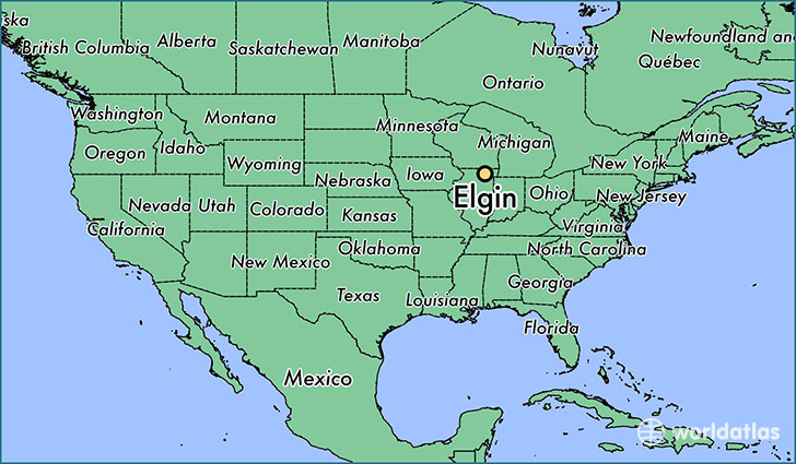
Elgin is a city found in Illinois, The United States Of America. It is located 42.04 latitude and -88.28 longitude and it is situated at elevation 229 meters above sea level.
Elgin has a population of 108,188 making it the 9th biggest city in Illinois. It operates on the CDT time zone, which means that it follows the same time zone as Chicago.
Quick facts
| Country | The United States Of America |
| State | Illinois |
| Population | 108,188 |
| Elevation | 229 m over sea level |
| Time Zone | CDT |
| Longitude | -88.281190 |
| Latitude | 42.037250 |
Elgin has a population of around 112105, of which 56106 (50%) are male and 55999 (49%) are female. The average age of the inhabitants of Elgin is 34.16, meaning that the average person is below the national median age of 37. For every male, there are approximately 1 females, meaning that the population is relatively evenly distributed between males and female(s).
Of Elgin's 112105 residents, around 109234 (97.40%) identify as having a single race. The majority of the population is white, which consists of 64.80% of the population. Of the remaining population, 7596 are black/African Americans (6.80%), 540 are native Americans (0.50%), 7014 are asians (6.30%), 21420 are other (19.00%).
The median income of households in Elgin is $60499.00, meaning that most of the households are above the poverty threshold for families of three. Of the total population, 6.40% of households reported an annual income of less than $10,000.
Elgin, IL Zipcodes
The city of Elgin has 10 zipcodes recognized by the United States Census Bureau: 60103, 60118, 60120, 60123, 60124, 60136, 60140, 60175, 60177, 60192.