Where is Henry County, Illinois?
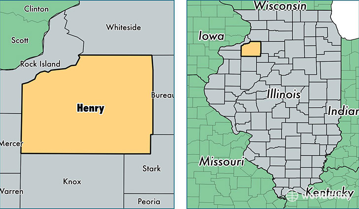
Henry County is a county equivalent area found in Illinois, USA. The county government of Henry is found in the county seat of Cambridge.
With a total 2,138.41 sq. km of land and water area, Henry County, Illinois is the 1121st largest county equivalent area in the United States. Home to 49,635 people, Henry County has a total 22045 households earning 52940 on average per year.
Henry County, Illinois - Quick Facts
| FIPS Code | 17073 |
| Area Codes | 309,815 |
| Time Zone | CST |
| Major Cities | Kewanee (population: 14,120), Geneseo (population: 11,339), Colona (population: 7,077), Orion (population: 3,295), Galva (population: 3,289), Cambridge (population: 3,225), Atkinson (population: 1,381), Annawan (population: 1,249), Lynn Center (population: 1,179), Woodhull (population: 1,083) |
| Land Area | 19,164 sq miles |
| Water Area | 823 sq miles |
| Household Income | $52,940 |
| Housing Units | 22,045 |
| Median Home Value | $109,800 |
| High School Grads | 90% of population |
| Holders of Bachelors Degrees | 20% of population |
| Retail Spending | $9,644 per capita |
| Food & Accomodation Sales | $42,009 per capita |
This page was last updated on June 30, 2016.