Where is Bond County, Illinois?
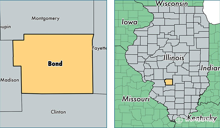
Bond County is a county equivalent area found in Illinois, USA. The county government of Bond is found in the county seat of Greenville.
With a total 991.35 sq. km of land and water area, Bond County, Illinois is the 2653rd largest county equivalent area in the United States. Home to 17,269 people, Bond County has a total 7068 households earning 48163 on average per year.
Bond County, Illinois - Quick Facts
| FIPS Code | 17005 |
| Area Codes | 217,618 |
| Time Zone | CST |
| Major Cities | Greenville (population: 10,282), Pocahontas (population: 3,600), Mulberry Grove (population: 1,797), Sorento (population: 1,425), Keyesport (population: 694), Smithboro (population: 631), Pierron (population: 423) |
| Land Area | 6,668 sq miles |
| Water Area | 380 sq miles |
| Household Income | $48,163 |
| Housing Units | 7,068 |
| Median Home Value | $103,300 |
| High School Grads | 86% of population |
| Holders of Bachelors Degrees | 19% of population |
| Retail Spending | $5,708 per capita |
| Food & Accomodation Sales | $13,125 per capita |
| Universities and Colleges | Greenville College |
This page was last updated on June 30, 2016.