Where is Harrison County, Iowa?
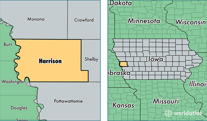
Harrison County is a county equivalent area found in Iowa, USA. The county government of Harrison is found in the county seat of Logan.
With a total 1,817.23 sq. km of land and water area, Harrison County, Iowa is the 1435th largest county equivalent area in the United States. Home to 14,324 people, Harrison County has a total 6720 households earning 54583 on average per year.
Harrison County, Iowa - Quick Facts
| FIPS Code | 19085 |
| Area Codes | 712 |
| Time Zone | CST |
| Major Cities | Missouri Valley (population: 5,118), Logan (population: 2,840), Woodbine (population: 2,280), Dunlap (population: 1,638), Mondamin (population: 850), Persia (population: 759), Pisgah (population: 488), Modale (population: 425), Little Sioux (population: 368), Magnolia (population: 176) |
| Land Area | 5,531 sq miles |
| Water Area | 697 sq miles |
| Household Income | $54,583 |
| Housing Units | 6,720 |
| Median Home Value | $108,200 |
| High School Grads | 91% of population |
| Holders of Bachelors Degrees | 18% of population |
| Retail Spending | $6,546 per capita |
| Food & Accomodation Sales | $10,399 per capita |
This page was last updated on June 30, 2016.